- Item
- 1964-01-04
Part of Richards Studio Photographs
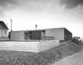
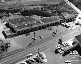
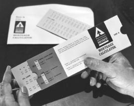
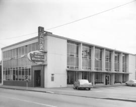
Exterior of bank. The above photograph, taken on January 4, 1964, is believed to be the National Bank of Washington branch at McChord Air Force Base managed by John Helm. The National Bank of Washington had 14 branches in the Tacoma area, including Fort Lewis and McChord. The modern branch had wall-to-wall glass windows and a convenient night deposit drop near the main entrance. The McChord branch at 550 A St. was officially opened on October 25, 1963, when Chairman Goodwin Chase and base commander Co. Kenneth Glassburn cut a dollar-bedecked ribbon.
National Bank of Washington (McChord); Banks--McChord;