Identity elements
Reference code
Name and location of repository
Level of description
Item
Title
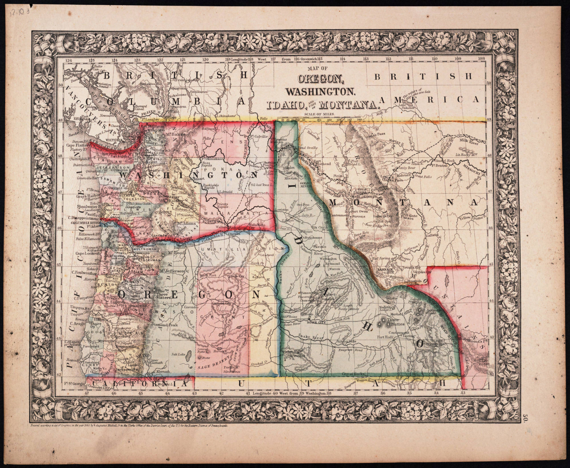
Map of Oregon, Washington, Idaho, and Part of Montana, 1860
Date(s)
- 1860 (Creation)
Extent
Content and structure elements
Scope and content
Philadelphia : S. A. Mitchell, Jr.
1 map : hand col. ; 27 x 34 cm. Relief shown by hachures. Shows counties, cities, railroads, routes of wagon trails, and rivers. Scale ca. 1:4,435,000. Lower right: 50. Decorative border. Dated 1860 in bottom margin, but some question whether that might be the date of the original copyright of the base map.
System of arrangement
Conditions of access and use elements
Conditions governing access
Technical access
Conditions governing reproduction
Languages of the material
Scripts of the material
Language and script notes
Finding aids
Acquisition and appraisal elements
Custodial history
Immediate source of acquisition
Appraisal, destruction and scheduling information
Accruals
Existence and location of originals
Existence and location of copies
Related archival materials
Related descriptions
Notes element
General note
Digitized by Washington State University, 2002.