PETERSON-009 Front

Open original Digital object

Identity elements

Reference code

Name and location of repository

Level of description

Part

Title

PETERSON-009 Front

Date(s)

  • c. 1920 (Creation)

Extent

Content and structure elements

Scope and content

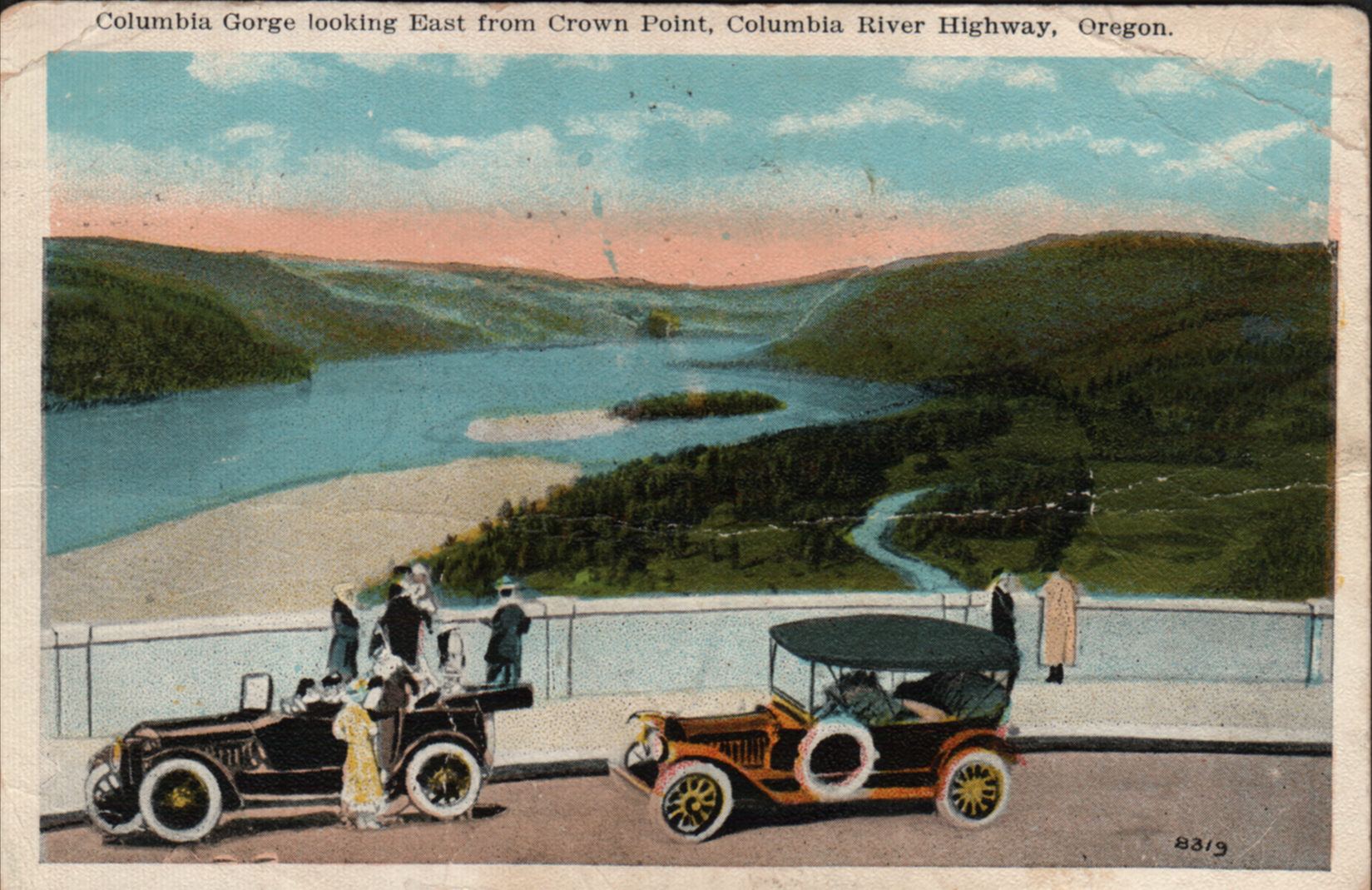
  • Crown Point is the name of a promontory on the Columbia River Gorge and an associated state park in the U.S. state of Oregon. It is located in eastern Multnomah County, approximately 15 miles east of Portland. Crown Point is one of the scenic lookouts along the Historic Columbia River Highway, providing a panoramic view of part of the Columbia River. It stands 733 feet above the river and is remains of a lava flow that filled the Columbia River channel 14 million years ago.
  • Printed: Columbia Gorge looking East from Crown Point, Columbia River Highway, Oregon.

System of arrangement

Conditions of access and use elements

Conditions governing access

Technical access

Conditions governing reproduction

Languages of the material

Scripts of the material

Language and script notes

Finding aids

Acquisition and appraisal elements

Custodial history

Immediate source of acquisition

Appraisal, destruction and scheduling information

Accruals

Existence and location of originals

Existence and location of copies

Related archival materials

Related descriptions

Notes element

Specialized notes

Alternative identifier(s)

Rules or conventions

Sources used

Access points

Subject access points

Place access points

Name access points

Genre access points

Digital object metadata

Digital object (Master) rights area

Digital object (Reference) rights area

Digital object (Thumbnail) rights area

Accession area

Related subjects

Related people and organizations

Related genres

Related places