Identity elements
Reference code
Name and location of repository
Level of description
Item
Title
A116017-4
Date(s)
- 1958-08-08 (Creation)
Extent
Name of creator
(1919-1980)
Content and structure elements
Scope and content
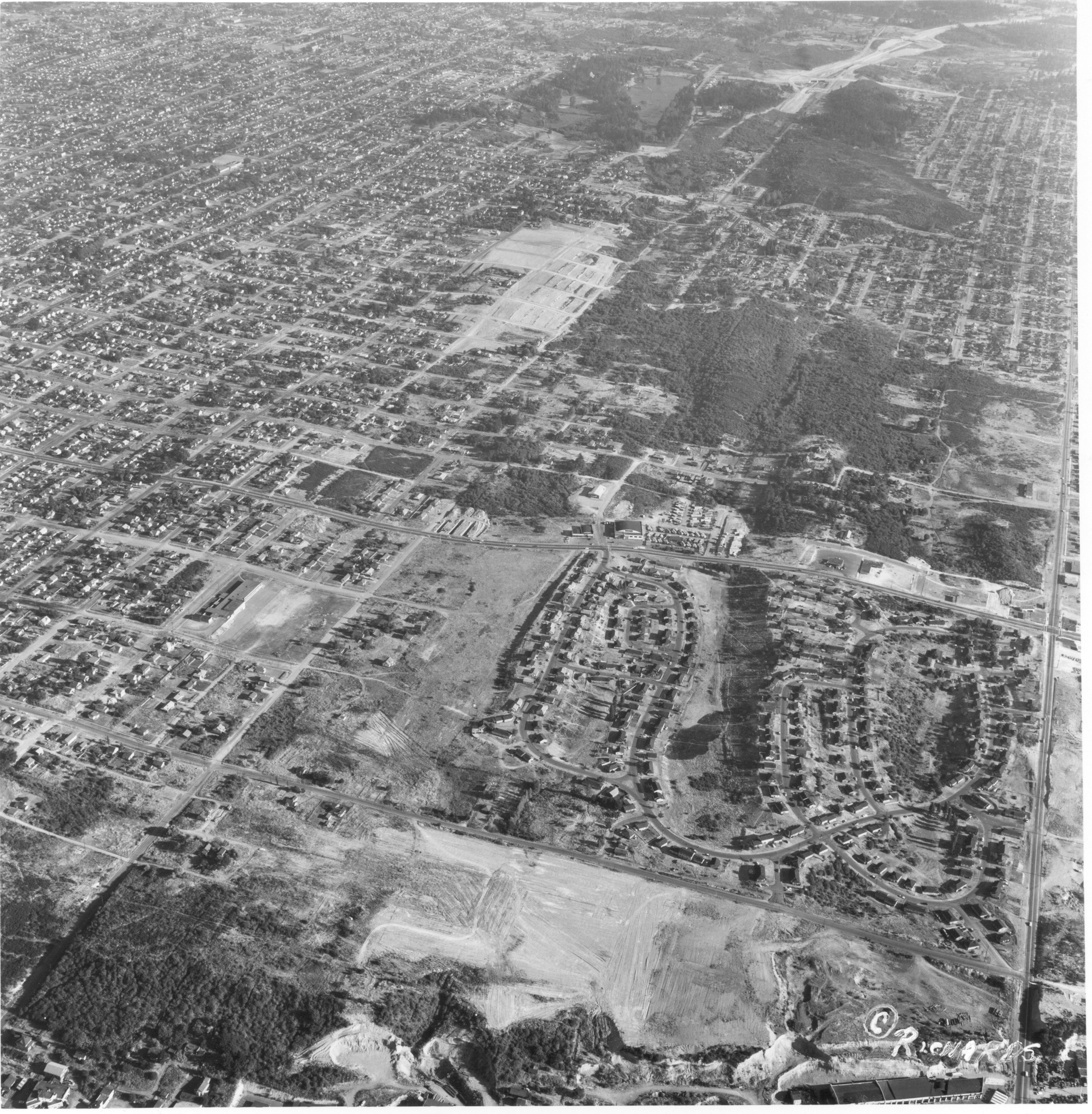
This aerial photograph, taken for Allied Owners, Inc. in August of 1958, shows the area of South Tacoma that would become home to the Tacoma Mall Shopping Center. The winding, twisting roads toward the lower center are the Lincoln Heights neighborhood. The road on the far right is South Pine. South 38th Street cuts through the middle of the photo from left to right. The tree covered area at right center is now the site of the Tacoma Mall. I-5 is yet to be built. At the top is Wapato Park and Wapato Lake.
Aerial photographs; Neighborhoods--Tacoma;