Identity elements
Reference code
Name and location of repository
Level of description
Item
Title
TPL-4091
Date(s)
- 1920 (Creation)
Extent
Content and structure elements
Scope and content
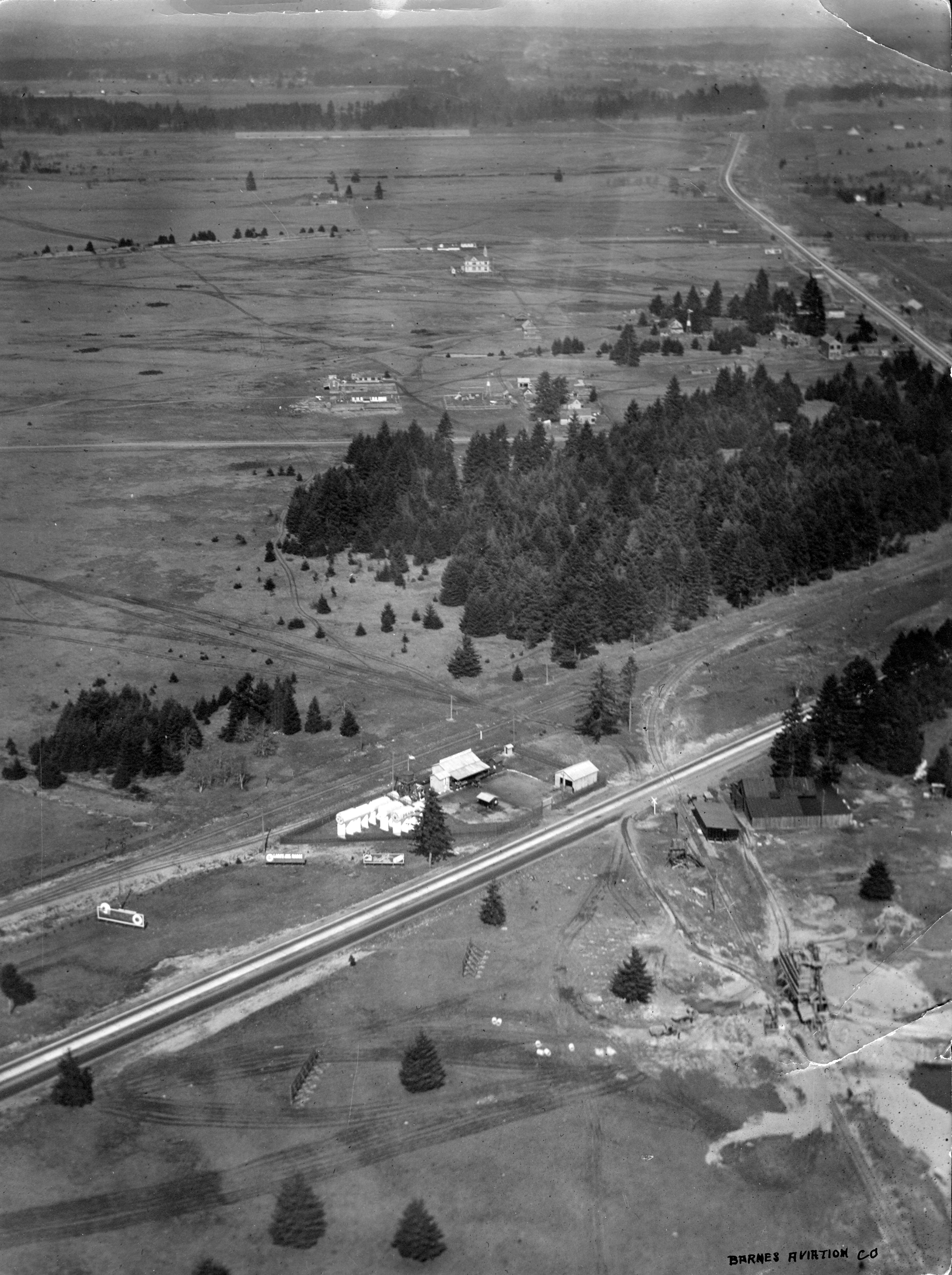
ca. 1920. Aerial view of Lakewood area, looking north, as photographed in 1920 by Barnes Aviation Co. The building at top center is Lakeview School. Road running along right top of image is Pacific Highway with Northern Pacific Railroad tracks next to road. Road going right to left across bottom is Old Highway 99 Road cutting across center of image and disappearing into the trees is the old Boundary Road (now 112th Street SW).
Aerial photographs; Aerial views; Lakeview School (Lakewood); Streets--Lakewood; Railroad tracks--Lakewood;