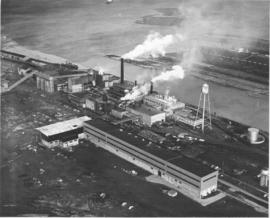
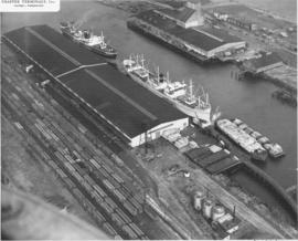
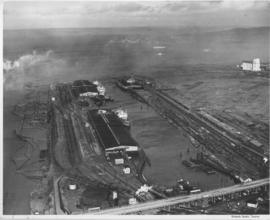
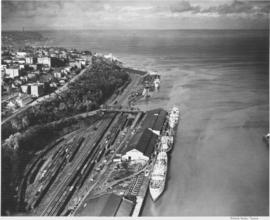
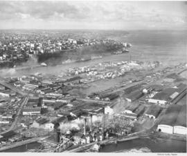
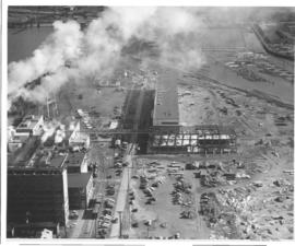
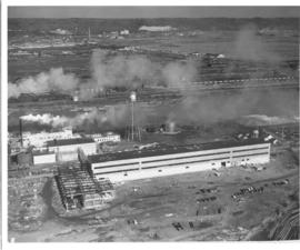
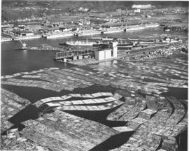
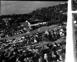
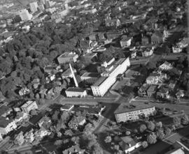
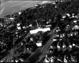
Aerial views: Port Piers, Washington Co-op, grain storage tanks at Port of Tacoma, Norwood Plywood, City Center. Studio, Bob. An aerial view of the Tacoma tideflats looking east. East 11th Street comes from the left and curves northeast across the St. Paul Waterway. St. Paul Avenue starts at East 11th Street and moves southeast towards the Puyallup River. The Wheeler-Osgood Company (at 1216 St. Paul Avenue) is seen in the center, right section. Northwest Door (1203 East D Street) is at the corner of East 11th and East D (center left). Norwood Plywood is believed to be the plywood facility for Northwest Door who began their plywood operations in 1936. The spider-like pipes running from a central location to several buildings is part of Wheeler-Osgood. The corner lot (center front) has been vacant since at least 1938.
Aerial views; Industrial facilities--Tacoma--1940-1950; Wheeler, Osgood Co. (Tacoma); Northwest Door Co., Inc. (Tacoma);