- Item
- 1948-10-11
Part of Richards Studio Photographs
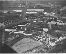
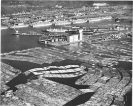
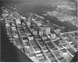
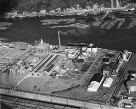
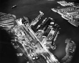
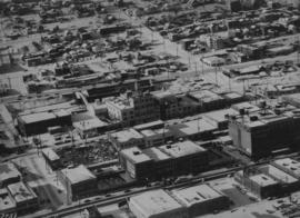
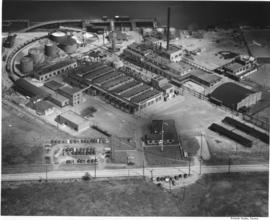
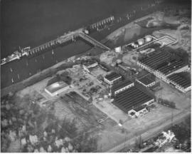
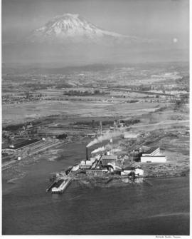
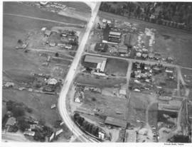
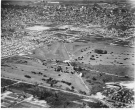
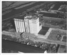
Aerial views: Port Piers, Washington Co-op, grain storage tanks at Port of Tacoma, Norwood Plywood, City Center. Studio, Bob. An aerial of the Washington Cooperative Farmers Association grain elevator and feed mill located at 1801 Taylor Way. The facility was to officially open March 1949. In the foreground are the boat building facilities the J.M. King Company at 1601 Taylor Way. Buffelin Lumber is seen on the other side of the co-op. The Hylebos Waterway crosses the upper left corner with log booms along both sides.
Aerial views; Industrial facilities--Tacoma--1940-1950; Grain elevators--Tacoma; Logs; Washington Cooperative Farmers Association (Tacoma); Buffelen Lumber & Manufacturing Co. (Tacoma); John M. King Co. (Tacoma); Hylebos Waterway (Tacoma);